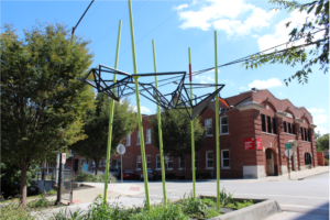
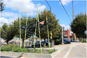
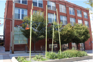
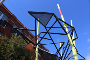
Exposed Structures (system mapping)
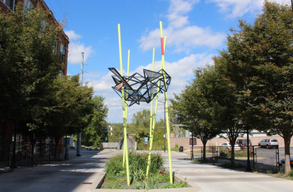
As if a specimen of the Missouri River’s substrate is presented on the site – pinned to the ground. The triangles reference the mathematician Pythagoras with cut steel that creates a tentlike “shelter” open to the sky. The mathematics to create the GIS mapping of the riverbed creates a new memory work in the form of a living trellis. Undulating curves are informed through replicated mapping folds, implied movement and sculptural cavity.
Part of the City of Kansas City’s One Percent for the Arts Program.